{Click on an image to enlarge, then use the back button to return to this page}
 |
| (Fig. 01) |
|
 |
| (Fig. 02) |
|
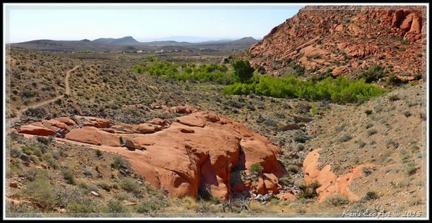
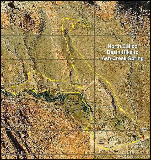
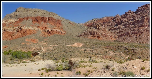
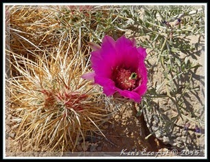
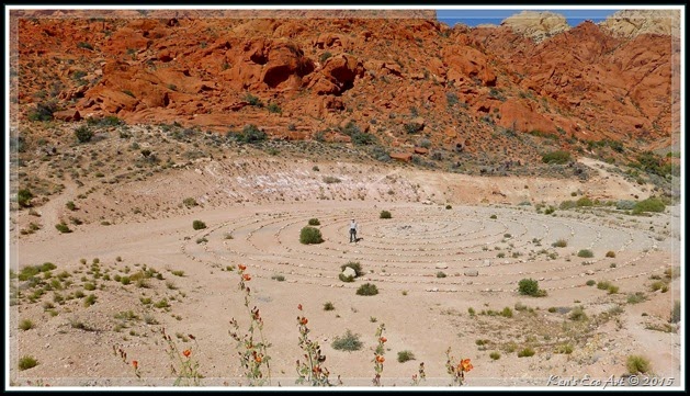
04/17/2015 Trip Notes: Today, I hiked the area at the north end of Calico Basin with my fellow hiking partner, Blake Smith. Refer to my Calico Basin summary page [Calico Basin and Red Spring] for directions and more information on this location. In general, Calico Basin is a colorful desert area tucked between the gray limestone La Madre Mountains to the north, the red sandstone Calico Hills to the west, and a desert ridge to the south. Within the basin there are actually three year-round springs with permanent water that emerge from the base of these red and white sandstone cliffs: Red Spring, Calico Spring, and Ash Creek Spring. Today we hiked the area north of Ash Spring. As you can see from (Fig. 02), we hiked from the starting point noted in the lower right corner and hiked out across the desert to the end of the trail to the top of a peak (top center). From here we had to gingerly hike down a rather steep backside in order to pick up another trail in which to return upon. The view in (Fig. 03) was taken from the road looking out towards the area that we hiked. On both the hike out and the hike back we came upon dozens of blooming cactus and wildflowers, as well as several birds that were perched along the tops of various shrubs and cacti (Figs. 04 thru 13). The view in (Fig. 01) was taken from about half way back looking down towards the area of the spring. We hiked back to a ridge that ran west along the upper edge of the wetlands towards the beginning of Ash Spring. Before actually reaching the springs source, we began hiking down through the marsh-like area (Fig. 14) and along the trees and grasses that bordered its northern edge (Figs. 15 & 16). We were surprised to find this area was much drier than in previous years. It wasn’t until we reached its eastern end that we finally found evidence of flowing surface water (Figs. 17 thru 19). Hiking up out of the wash we came upon a large geoglyph (a.k.a. intaglio) that we had seen on a previous trip. Blake, standing near the center in the picture, noticed that it appeared larger than it was the last time we were here. He was right. I compared this picture (Fig. 20) to one I had taken previously and there were four additional rings that had been added to it. All in all we both felt that this one one of the best hikes we had taken this spring. On our way out of the basin, I took one final picture (Fig. 21) that captured a better view of Turtlehead Mountain in the background.
|
 |
| (Fig. 03) |
|
 |
| (Fig. 04) |
|
 |
| (Fig. 05) |
|
 |
| (Fig. 06) |
|
 |
| (Fig. 07) |
|
 |
| (Fig. 08) |
|
 |
| (Fig. 09) |
|
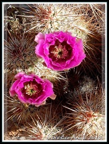 |
| (Fig. 10) |
|
 |
| (Fig. 11) |
|
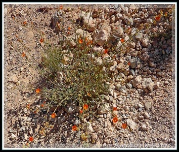 |
| (Fig. 12) |
|
 |
| (Fig. 13) |
|
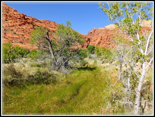 |
| (Fig. 14) |
|
|
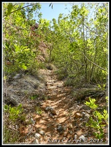 |
| (Fig. 15) |
|
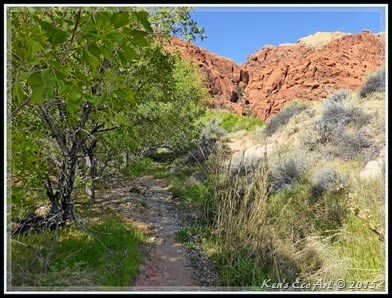 |
| (Fig. 16) |
|
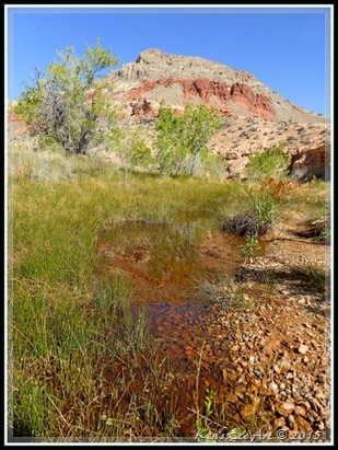 |
| (Fig. 17) |
|
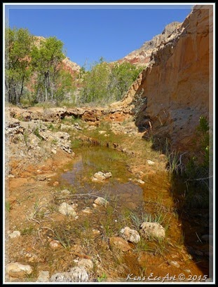 |
| (Fig. 18) |
|
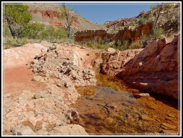 |
| (Fig. 19) |
|
 |
| (Fig. 20) |
|
|
|


