{Click on an image to enlarge, then use the back button to return to this page}
This page last updated on 04/10/2018
 |
| (Fig. 01) |
|
 |
| (Fig. 02) |
|
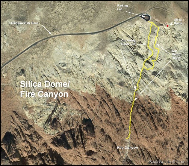
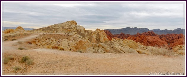
Directions: Once you arrive at the visitor center, turn into the visitor center and then take a left onto Mouse's Tank Road. Drive 1.9 miles and then turn right onto Rainbow Vista Road up to the parking area (Fig. 02). Silica Dome (Fig. 03) is about 1/2 mile in front of you.
|
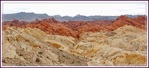
Silica Dome/Fire Canyon: The sandstone formations that are so prominent in the Valley of Fire are made of sand grains that are almost pure silica. Silica Dome is the finest example in the area of such a deposit. The change from white to red at the base of the dome occurs where small quantities of iron in the rock produces a rust-like stain. In this region, forces within the earth have been powerful enough to cause thousands of feet of surface rock to fold, break, and in some areas push several miles from their original location. Today, erosion has worn away the top of one great fold, exposing the sharply angled layers of rock, and creating numerous canyons.
|
 |
| (Fig. 03) |
|
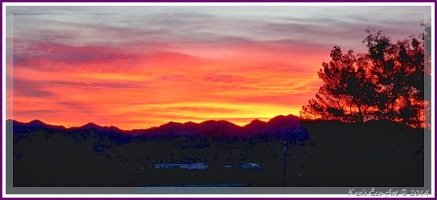
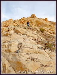
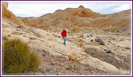
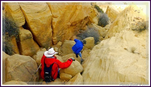
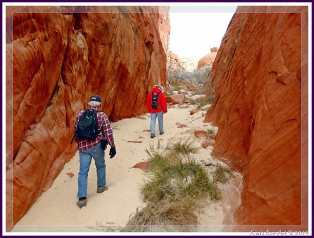
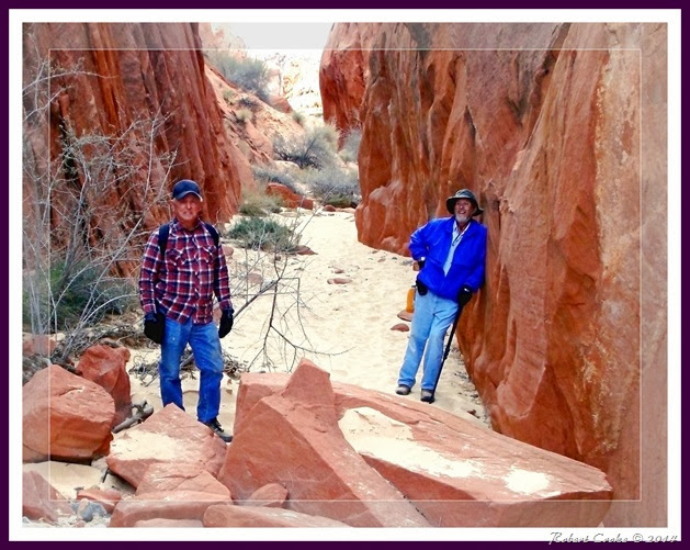
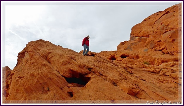
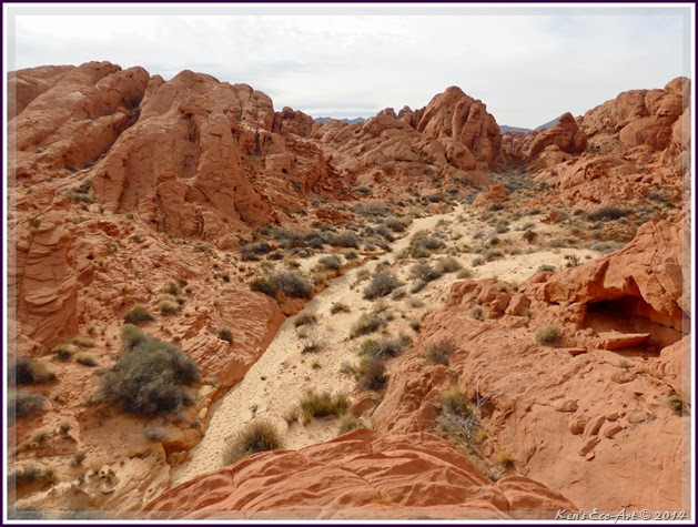
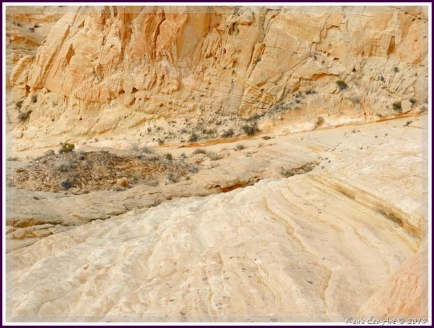
01/30/2014 Trip Notes: I captured the sunrise picture in (Fig. 01) on my way to the Senior Center to catch the van for our trip to Valley of Fire. After we arrived at the park, I decided to have Bill drop me off at Silica Dome, at the end of Rainbow Vista Road, one of the few places left in this park that I had yet to hike. I was joined by my friends Harvey Smith and Robert Croke. Though there is a wide, sweeping trail that leads to the top of Silica Dome (Fig. 03), we decided to climb down into what is known as “Fire Canyon”, the area of red sandstone canyons below the upper deposits of the white silica (Fig 04). It was a relatively steep, 246 foot decent (Figs. 05 & 06) down silica dome to the wash that leads to Fire Canyon; there is no trail. At the end of the climb down, we had to do some class three scrambling down a very narrow, rocky crevice (Fig. 07) to reach the floor of the wash. Once we reached the base of the wash we hiked about another quarter mile, passing through a somewhat narrow slot canyon (Fig. 08 & 09). At the end of the slot canyon, we climbed up onto a sandstone outcrop (Fig. 10) that provided us with a nice view of the shrub filled wash and remainder of the canyon spread out ahead of us (Fig. 11). Unfortunately, we were out of time and had to head back to our pickup point. The good news was that we found an alternative route back (refer to the map in (Fig. 02). Even though it was a relatively steep climb up a smooth sandstone face (Fig. 12), it was much easier than the climb down the rocky crevice in (Fig. 07). The wash runs through the middle of the picture. In total, we hiked almost two miles.
|
 |
| (Fig. 04) |
|
 |
| (Fig. 05) |
|
 |
| (fig. 06) |
|
 |
| (Fig. 07) |
|
 |
| Fig. 08) |
|
 |
| (Fig. 09) |
|
 |
| (Fig. 10) |
|
 |
| (Fig. 11) |
|
 |
| (Fig. 12) |
|